Matt Howard | Unsplash
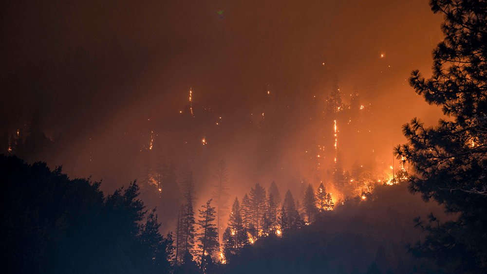
California has seen another aggressive year concerning wildfires, keeping current information on road closures and warnings are crucial during the summer months on the West Coast. A lot of resources are available to get updates and news as quickly as possible. Let’s go over some great resources to keep current on developing wildfires.
Air Now
Air now is an interactive map showing air conditions as wildfires progress. Air Now is an excellent place to check air advisory warnings and to see how the fires smoke spreads and effects air quality.
California Smoke Blog
California’s Smoke Blog is another excellent air quality resources, focusing on a narrower region as it pertains to each fire. Updates are a must check if you are living or working near one of these fires, another government updated air quality resource.
California Smoke Blog
California Smoke Blog Twitter
Cal Fire
Always a Great Place to check for fire updates and news, Cal Fire has an interactive fire map as well with Fire incidents. These incidents are the first place to recap fire briefings and developments and a great place to start when keeping an eye on wildfires. Some local counties Cal Fire have Twitter accounts as well for a more regional news feed.
Cal Fire Wildfire Incident Map
Cal Fire Twitter
Butte County Cal Fire Twitter
Nevada-Yuba-Placer Cal Fire Twitter
Shasta-Trinity Cal Fire Twitter
Lassen-Modoc Cal Fire Twitter
Inciweb
Inciweb is an incident reporting tool that is the first to have the latest development on fire development regarding map updates and geographical spread and is a tool the Forest Service and Cal Fire regularly use to monitor fire development. Inciweb is nationwide instead of regional but a handy map tool to keep an eye on fires as they grow towards residents and roads.
Cal Trans Quick Map
Cal Trans is always an excellent start for road status information, be it construction or closure by fire incidents. The best place to start is their Quick map tool, which has fire icons and closure markers on the interactive map so you can see if there are any issue on your route.

